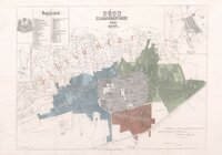
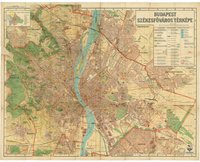
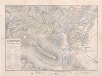
"A city map is a large-scale thematic map of a city (or part of a city) created to enable the fastest possible orientation in an urban space. The graphic representation of objects on a city map is therefore usually greatly simplified, and reduced to generally understood symbology.
Depending upon its target group or market, a city map will include not only the city´s transport network, but also other important information, such as city sights or public institutions." - (en.wikipedia.org 20.06.2020)
en